Whether you’re looking for a single elevation, a set of internal plans, or a complete 360° survey, we can supply what you need
Construction Industry - Residential - Commercial Real Estate - Historic Building
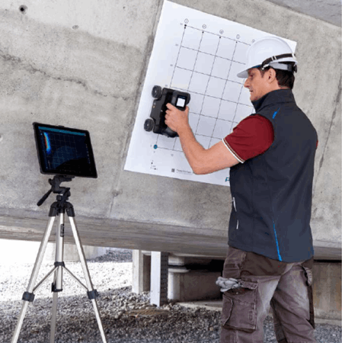
One of the big advantages of 3D laser scanning is the efficiency of data collection on site. It is therefore far less intrusive on the day to day running of a building than more traditional methods.
What in the past could have taken weeks onsite, can now be done in days, with the bulk of the work then taking place in our offices.
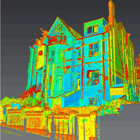
Safedigging Ltd are able to undertake a structured 3D laser scan of your existing building, be it for renovation, adaption, extension, or other BIM purposes.
Internal: Full internal building scan
External: Ground based external building scan
Aerial: Full Aerial survey using dedicated drone mounted scanners
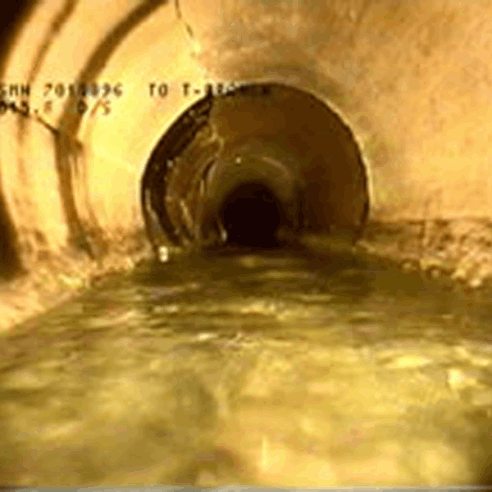
Also see: Measured Building Surveys
Once the building has been ‘reality captured as a 3D point cloud using laser scanners, we can then use this data to produce 2D drawings, a 3D model, or both.
We primarily use Trimble Business Center (TBC), AutoCAD and Revit for the production of both 2D drawings and 3D models, and have over 30 years’ experience in 3D modelling and its associated 2D construction data production.
The final deliverable can be supplied in a variety of electronic formats, to suit your ongoing use in CAD, CAFM, BIM, or to fit your particular use. Typically, it will be provided as a series of .DWG files for 2D AutoCAD drawings, or a .RVT file for 3D Revit models.
Following the government’s 2016 mandate to use BIM (Building Information Modelling) at level 2 for all its projects, 3D laser scanned Measured Building Surveys are fast becoming the preferred option.
3D Modelling & Virtual Walk throughs: Using technology originally designed for estate agents in the USA, Safedigging are able to create virtual walk throughs of construction sites and projects during different phases of a build or re development.
We can generate floor plans, walk throughs to be used for status updates with project managers and investors, create DWG files to use with Topographic Surveys and Measured Building Surveys, we can even integrate with google street maps.
Freephone: 0800 689 5315
FOLLOW US!